Field notes
Field notes: the season the snowline sat higher than any pass on record
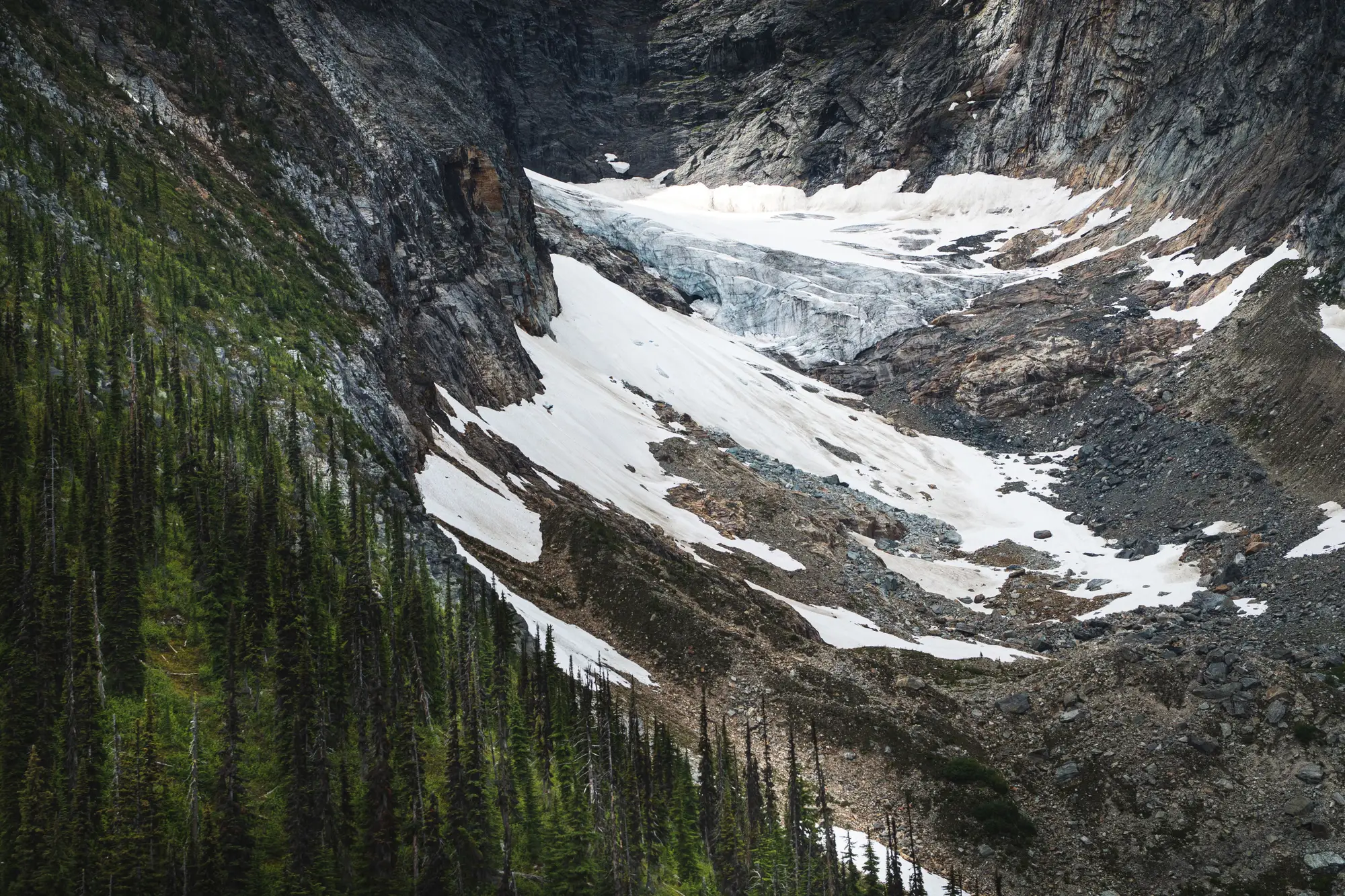
There's a particular kind of quiet that sets in on a late-July site visit when you drive up past where the snowline should be and just keep driving. No berm, no slush line, no boot-punched postholes in the shoulder. Just rock and dry gravel at an elevation where, most years, you'd still be parking the truck and switching to snowshoes.
That was this melt season for a lot of basins that lean on glacier and snowpack contribution to carry them through the dry months. The snowline sat higher than the road crews had seen it, higher than the pass itself in more than one case, and it got there early enough that the usual mid-summer bump in baseflow from snowmelt just didn't show up the way the hydrograph expected it to.
A few things stood out from watching this one unfold, for anyone else trying to make sense of a record-low snow year on a glacier-fed system.
The timing mattered more than the total. Total winter accumulation wasn't catastrophic everywhere. What did the damage was how early it went isothermal and how fast the snowline retreated once ablation started. A basin can absorb a lean snowpack if it melts out on schedule.
It can't absorb the same snowpack melting out six weeks early, because that pulls the runoff pulse forward into a period when downstream demand hasn't ramped up yet, and it leaves the glacier ice exposed to ablation for weeks longer than normal. Bare ice melts faster than snow-covered ice. Once the snowline climbs above the firn line and stays there, the glacier is losing mass at a rate the seasonal average doesn't capture.
The field notes told a different story than the gauge data, for a while. Streamflow at the lower gauges looked almost normal through June, which is the trap. The glacier was still contributing, just by drawing down ice reserve instead of seasonal snow. It's the hydrologic equivalent of spending savings instead of income. You don't see it on the monthly statement until the balance is gone, and by August the contribution dropped off a cliff that nobody flagged in advance because nobody was watching the snowline itself, just the discharge it was producing.
Aspect did a lot of the sorting. North-facing cirques held on, some of them into September, while south-facing slopes at the same elevation band were bare by the Fourth of July. That split matters for forecasting because it means a basin-wide average snowline number can hide which tributaries are actually going to carry late-season flow and which ones already quit. Anyone writing a water supply outlook off a single elevation threshold this year got burned by exactly this.
None of this was visible from the road for most of the catchment. You can drive one pass, maybe two, in a field season. A basin can have a dozen glaciers feeding it across elevation bands and aspects you'll never get a truck to. Which is the actual argument for watching the snowline from above rather than piecing it together from the handful of access points you can physically reach: a seasonal ice extent layer across the whole catchment turns one pass's worth of observation into a basin-wide picture, and lets you line that picture up against last year's, and the year before, without waiting for a field season to confirm what the gauge already half-told you.
What the pass taught this year, if it taught anything, is that "record low snow season" isn't one number. It's a snowline that got there early, stayed high through the part of the season that used to carry the glacier's contribution, and sorted itself out by slope and aspect in ways a single elevation reading can't show. Worth remembering next June, before the drive up the pass tells you again.
If this is the season that makes you want eyes on every glacier in the basin and not just the one past the gate, Glacier Monitoring is built for exactly that question.