Field notes
Notes on glacier extent, retreat and what they mean for basin hydrology, written for people who plan around meltwater.
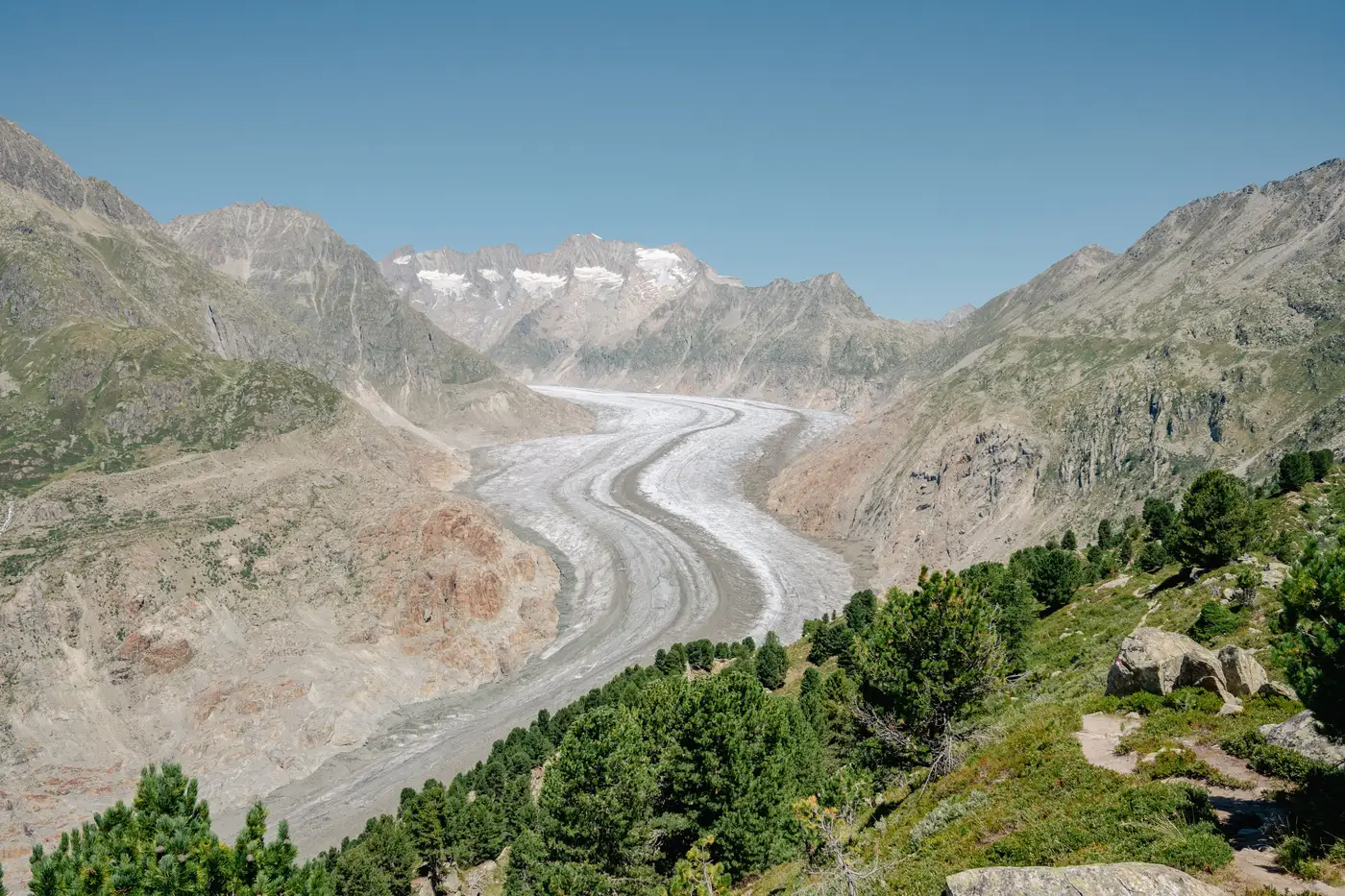 What is a reference glacier in mass balance monitoring?
A plain explanation of WGMS reference glaciers, how the benchmark network works, and what it means for basins that don't have one.
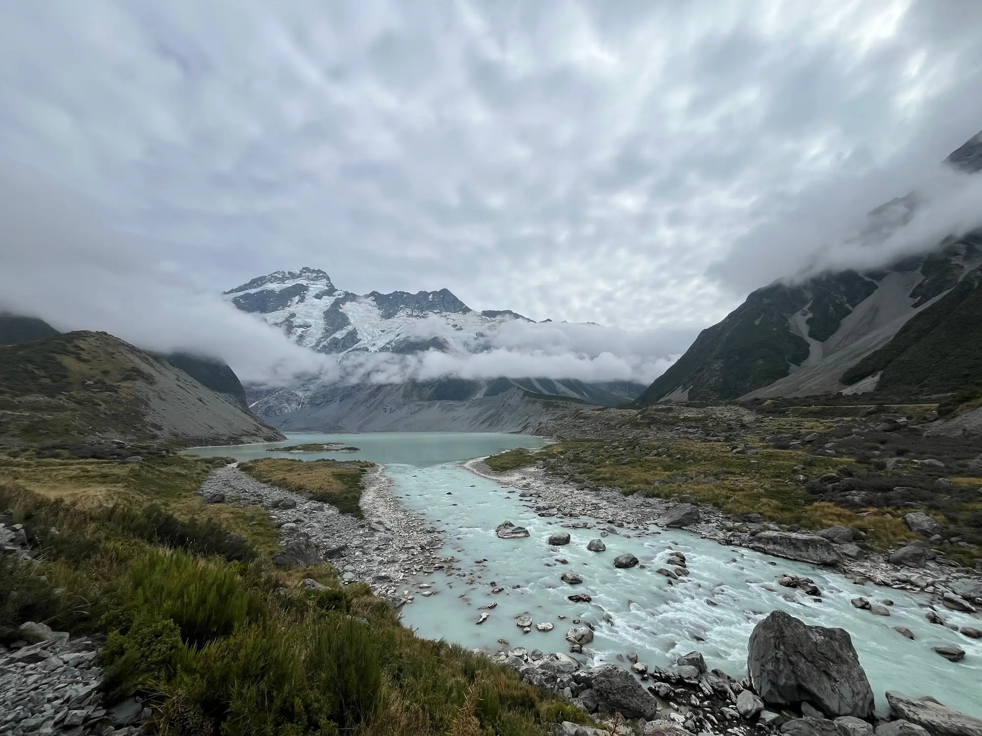 What is the degree-day factor in glacier melt modeling?
A plain explanation of the degree-day factor, how temperature-index models turn air temperature into melt, and where the method falls short.
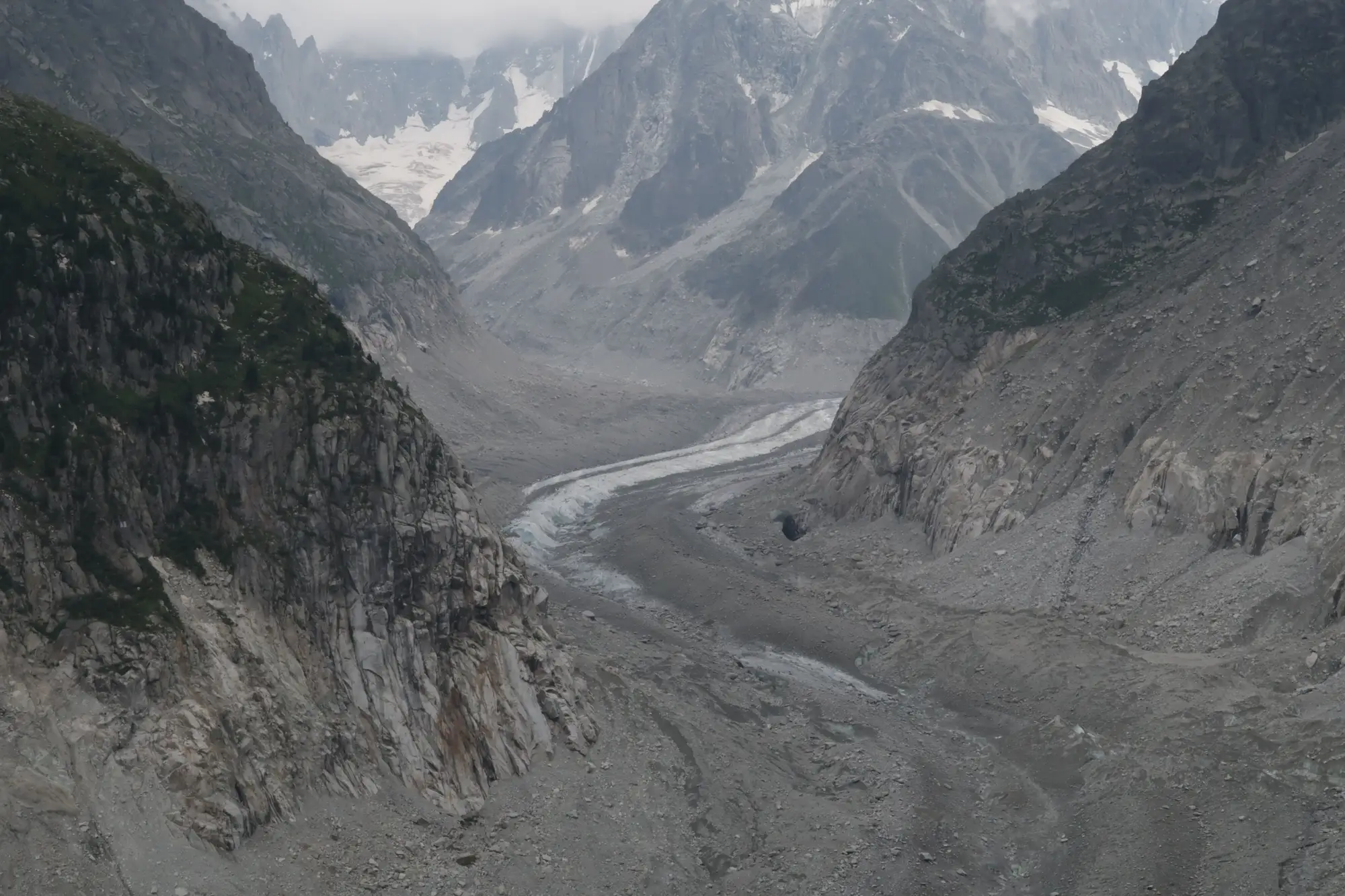 Field notes: the terminus that finally pulled back past the old benchmark cairn
A field hydrologist's notes on watching a terminus retreat past a decades-old benchmark cairn, and what that moment adds up to for a catchment.
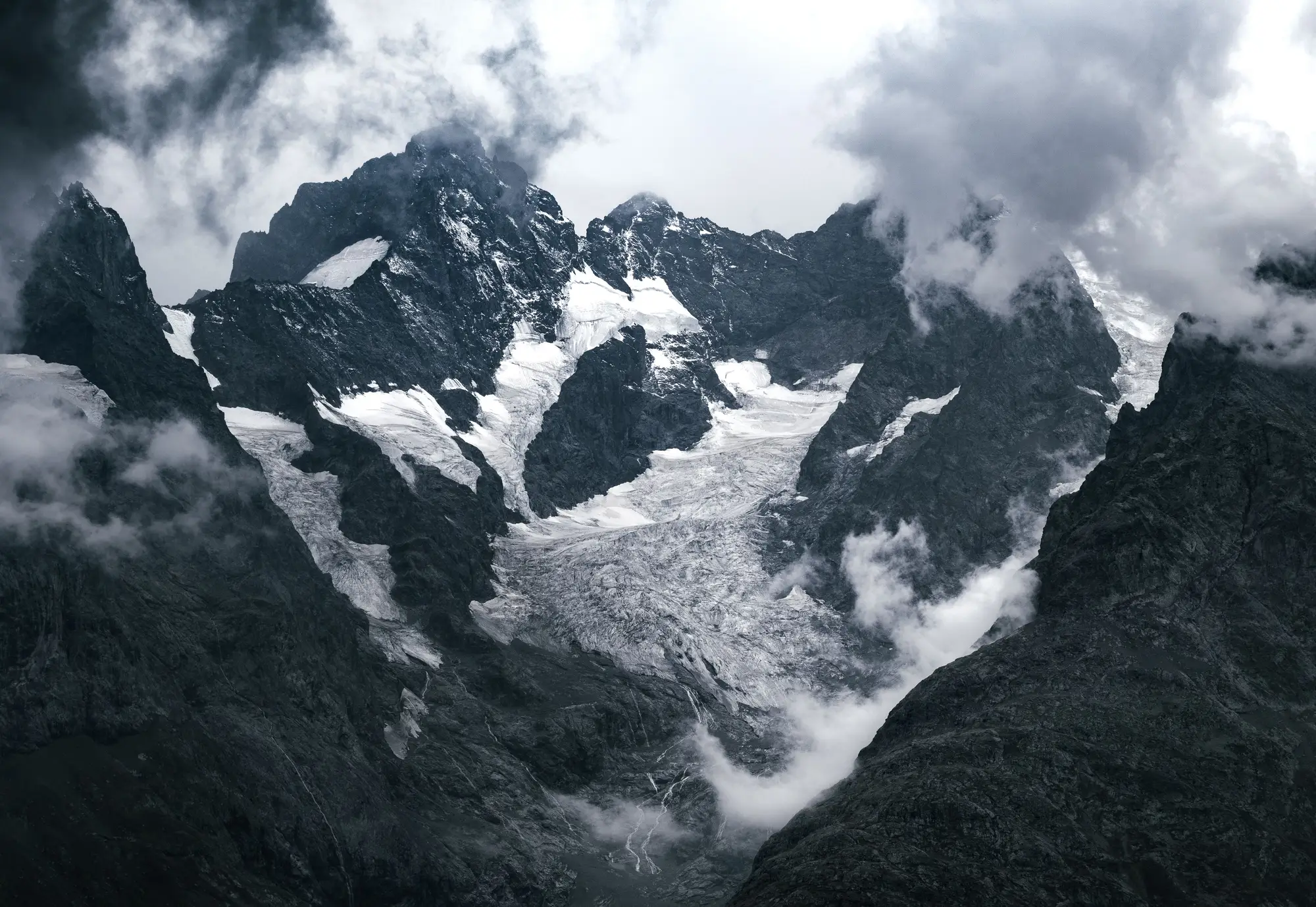 Firn line vs snowline: what's the difference?
Firn line vs snowline explained for catchment hydrologists, plus how accumulation zone and glacier facies tie into tracking retreat over time.
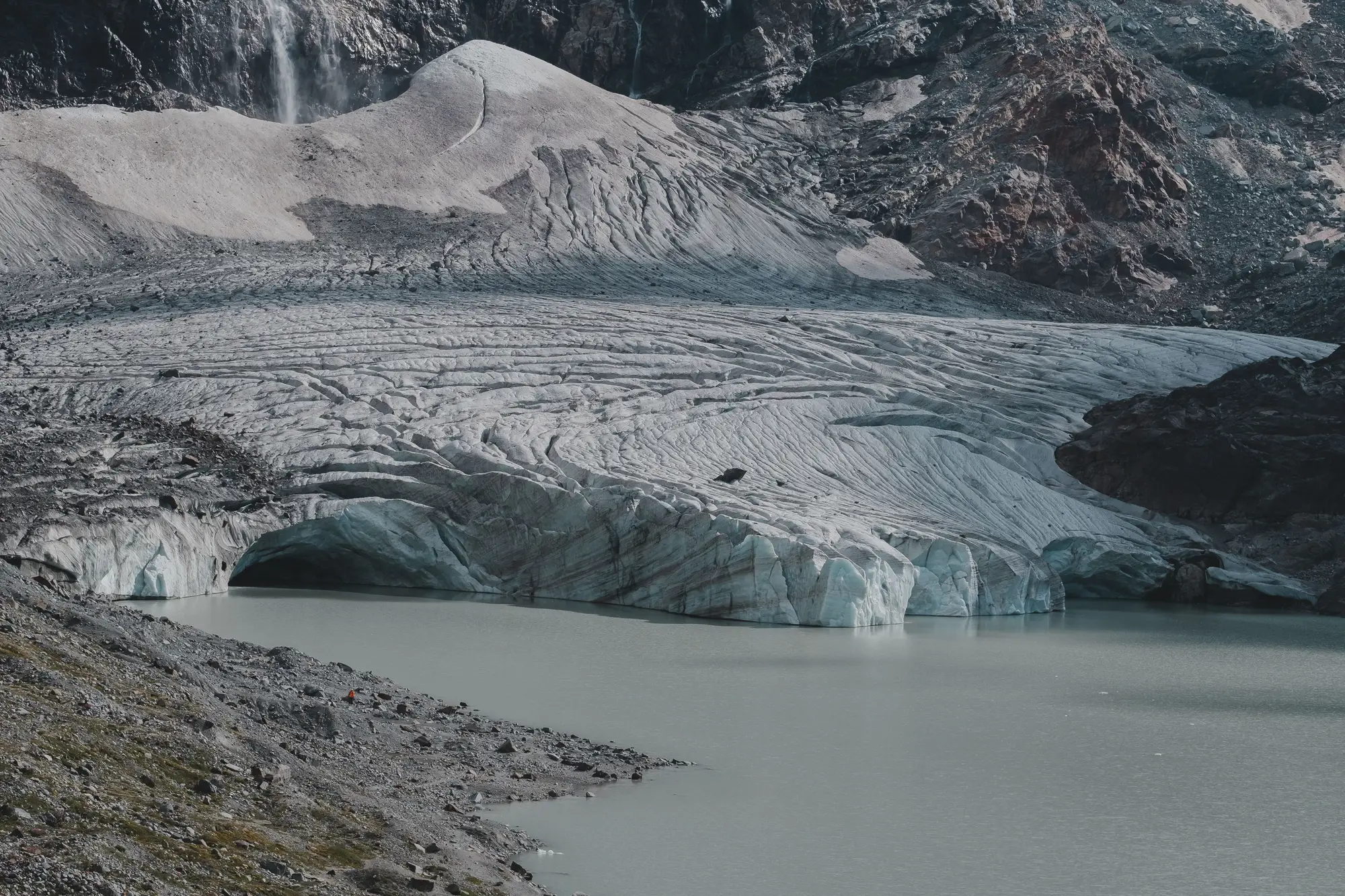 Clean ice vs debris-covered ice: why melt rates differ
Why a debris-covered glacier tongue can melt faster or slower than bare ice, and what that means for reading runoff signals in a glacier-fed catchment.
- Estimating ice thickness from surface velocity for a catchment water balance
A field guide to the mass-conservation approach for inferring glacier ice thickness from surface velocity, and where it fits a basin water balance.
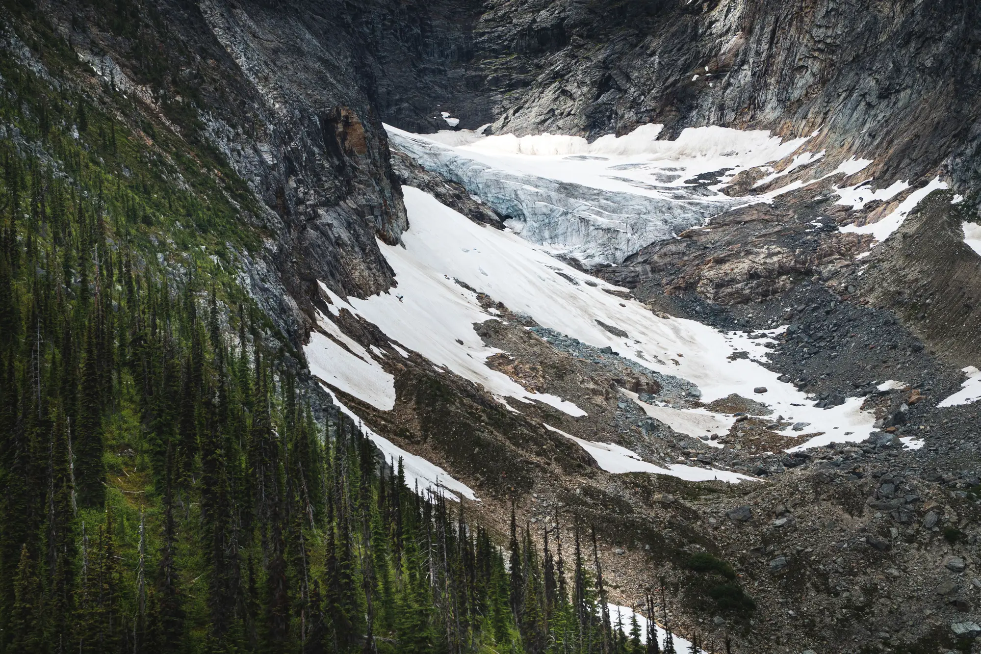 Field notes: the season the snowline sat higher than any pass on record
A field hydrologist's notes on the season the snowline climbed above the pass itself, and what it revealed about glacier mass loss timing.
- What the Randolph Glacier Inventory gives hydrologists, and what it doesn't cover
What the Randolph Glacier Inventory covers, where it falls short for trend work, and how catchment hydrologists fill the gap.
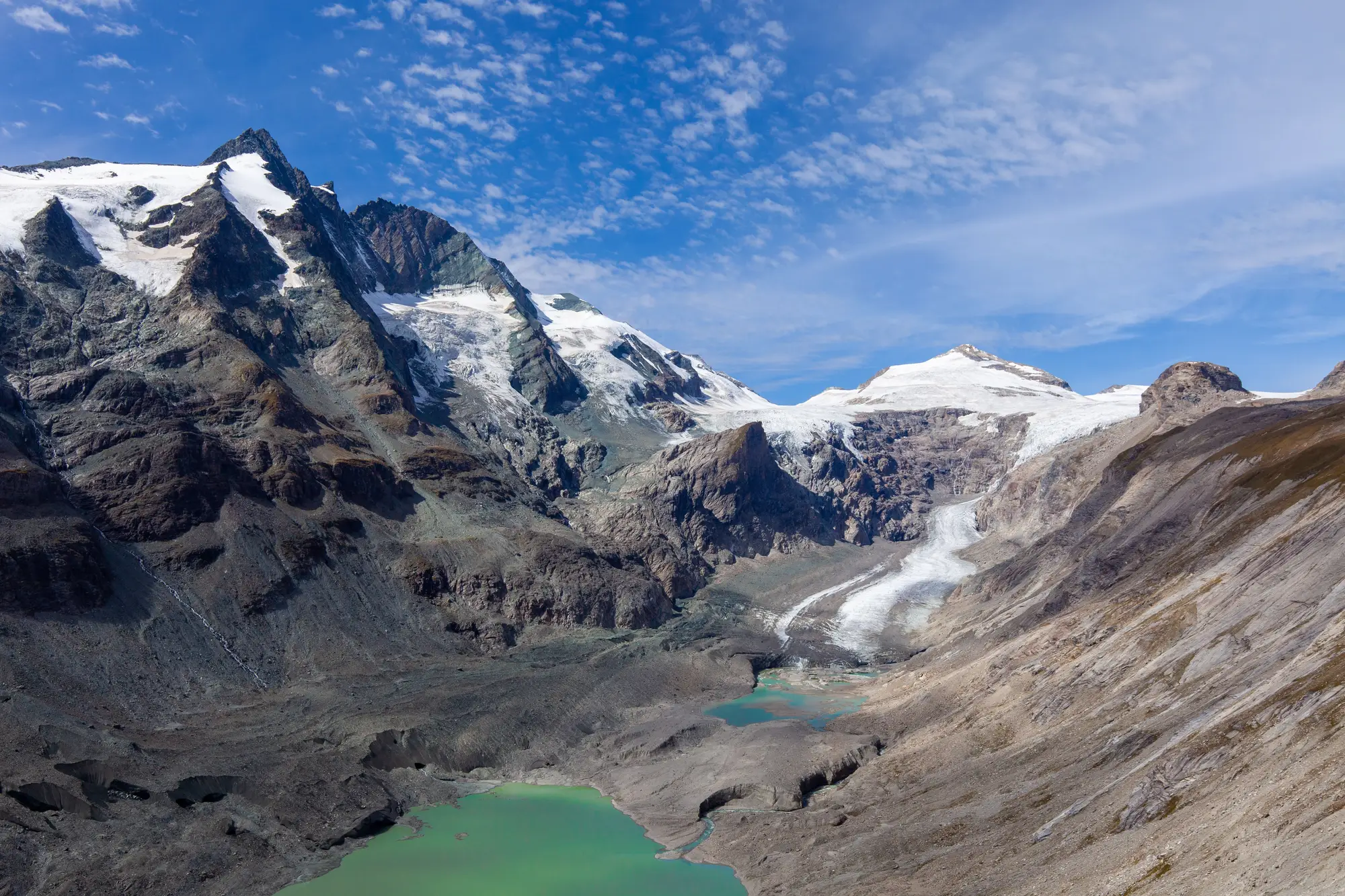 How to prioritize which glaciers to monitor first in a catchment
A screening approach for ranking tributary glaciers in a multi-glacier catchment before you commit field days or imagery budget.
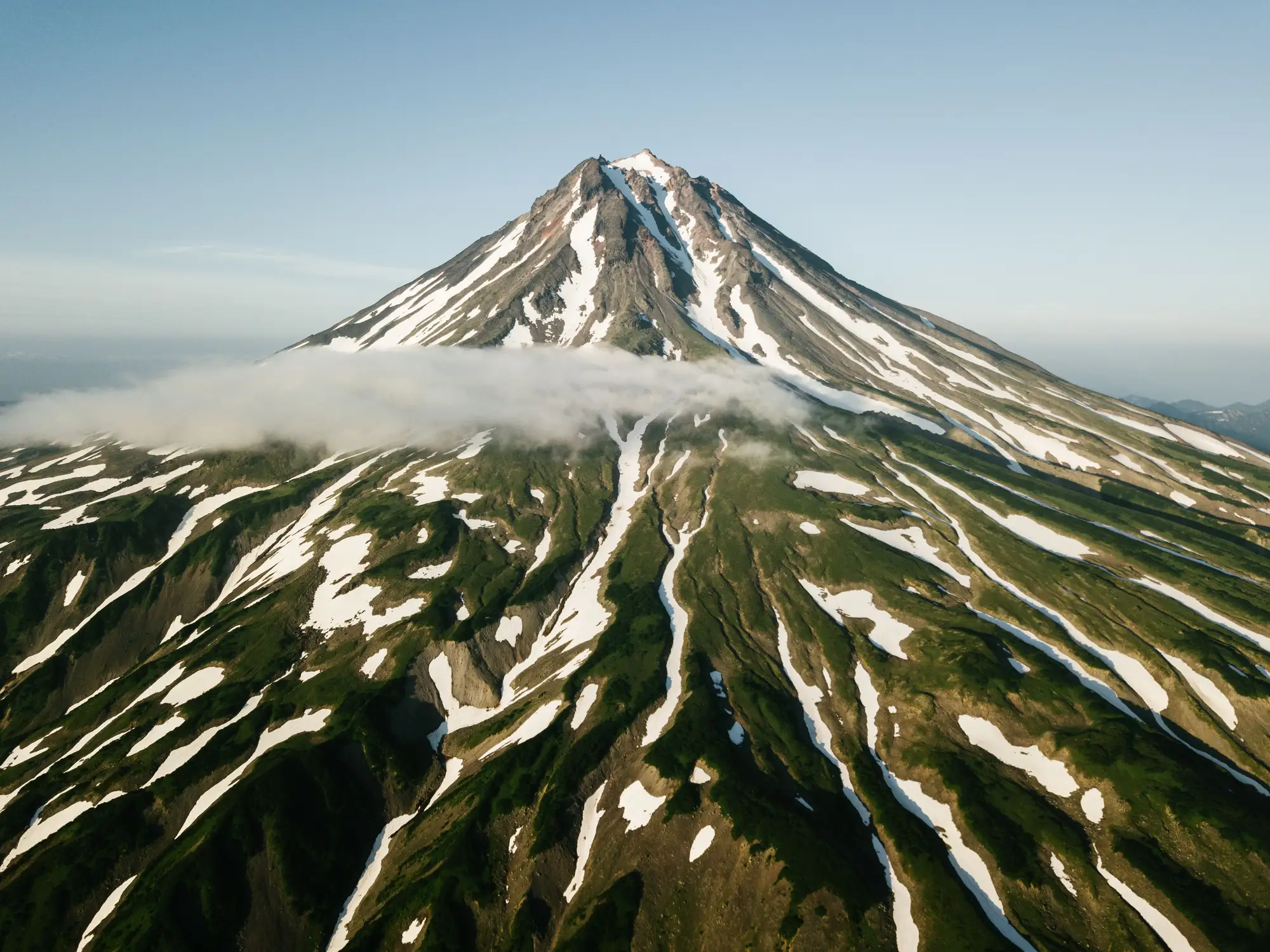 What is glacier hypsometry and why it controls melt timing
Glacier hypsometry, the area-elevation distribution of a glacier, decides how fast melt timing shifts as the equilibrium line rises.
- Accumulation area ratio explained: reading a glacier's health from its snowline
What AAR is, how to read accumulation zone vs ablation zone from end-of-summer imagery, and why it's one of the cleanest glacier health signals around.
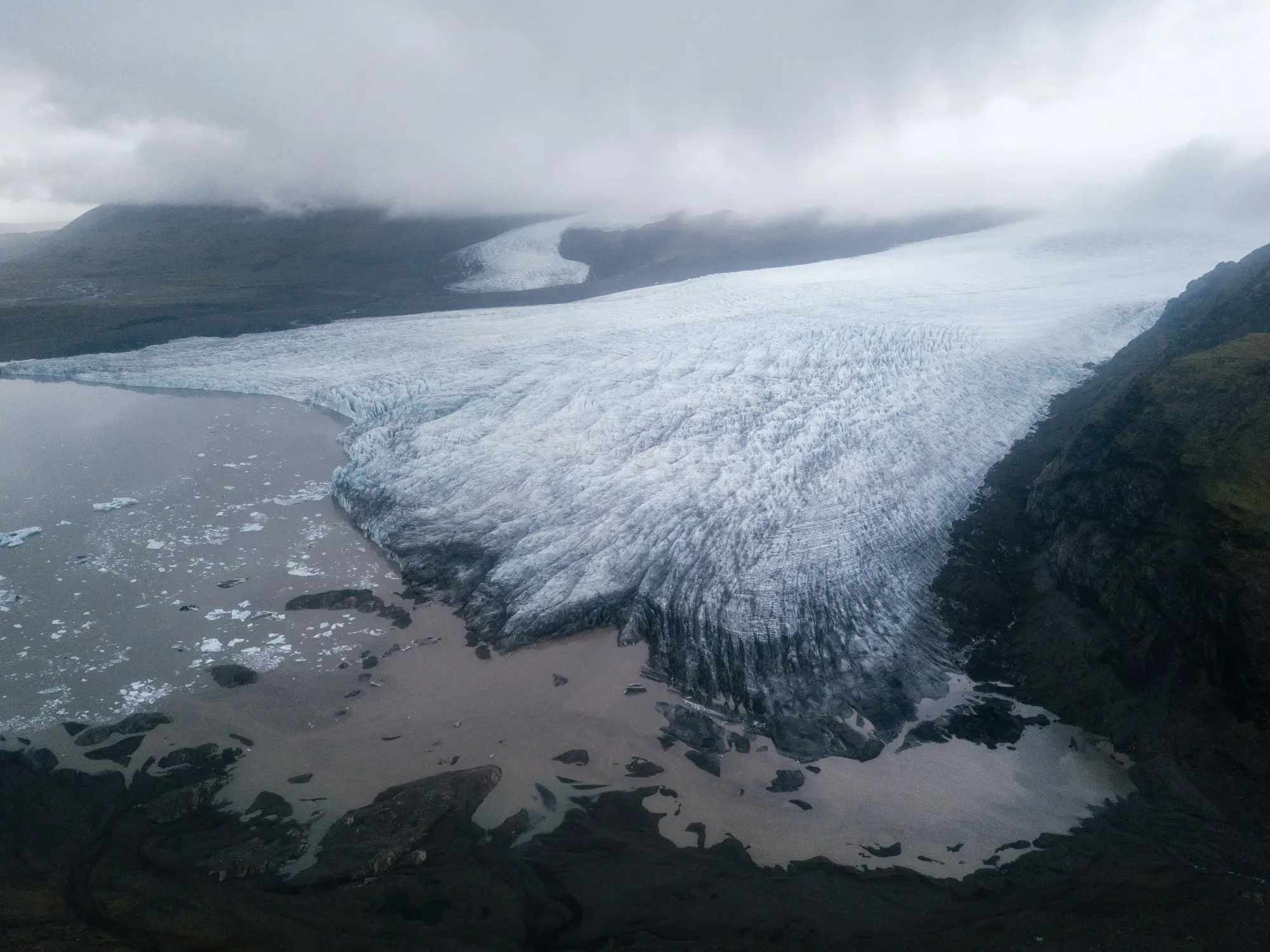 What is a GLOF, and why catchment hydrologists track proglacial lake area
A plain explainer on glacial lake outburst floods and why watching proglacial lake area season over season gives you lead time a gauge alone won't.
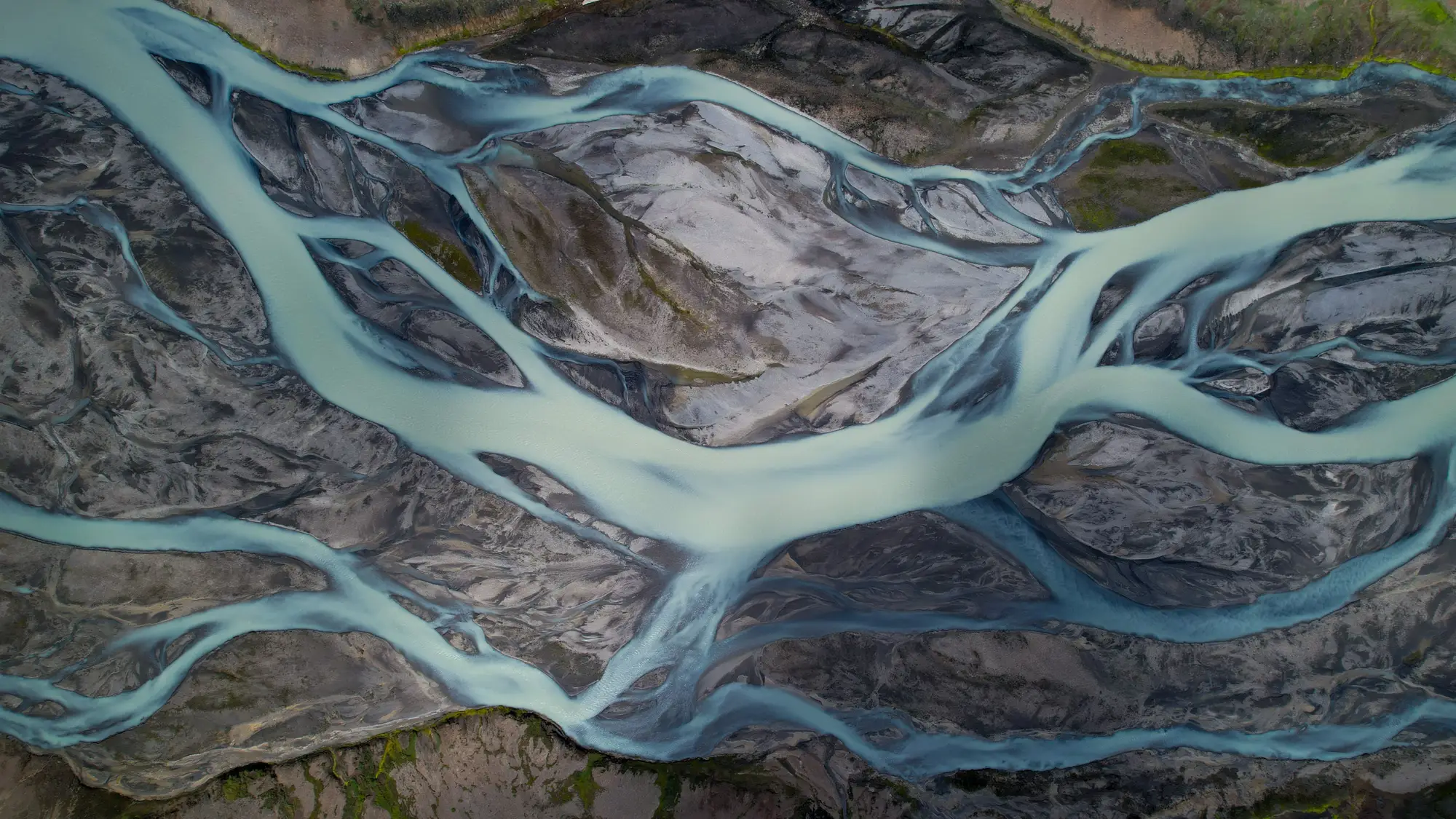 Separating snowmelt and glacier melt in a hydrograph
How to pull apart snowmelt and icemelt contributions in a glacier-fed hydrograph, from timing cues to isotope tracers and melt-season recession shape.
- Mass balance vs. terminus position: which glacier metric should a catchment manager track
Mass balance and terminus position measure different things. Here's which one tells a water agency what a glacier-fed catchment's runoff is going to do.
- Rock glacier vs debris-covered glacier in optical imagery
Field-tested visual cues for separating rock glaciers from debris-covered ice in multispectral satellite archives, for catchment monitoring work.
- What is peak water in a glacier-fed catchment?
Peak water marks the point a glacier-fed catchment flips from rising to falling melt contribution. Here's how to tell where your basin sits on that curve.
- How to estimate glacier meltwater's share of streamflow
A working method for separating icemelt from snowmelt in a glacier-fed hydrograph, and where satellite ice extent fits into the water balance.
- How to pick a baseline year for glacier extent comparison
How to choose a defensible baseline year for glacier retreat comparison in a catchment, and why the wrong anchor year skews the whole trend.
- How to spot supraglacial lakes and debris cover in satellite imagery
How to tell supraglacial lakes and debris-covered ice apart from clean ice and bare rock in optical satellite scenes, and where the method runs out.
- Optical vs SAR imagery for glacier extent: which archive answers the question
A comparison of optical and SAR imagery for tracking glacier and snowline extent in a catchment, including where cloud cover gets in the way of each.
- Snow cover extent vs snowline elevation: what each measure tells you
Snow cover extent maps snow-covered area on one date. Snowline elevation tracks a boundary through the season. When to use which in basin work.
- Why the same August week matters more than the calendar year
Comparing glacier extent across calendar years hides more than it reveals. A fixed late-summer window gives the cleaner signal.
- Equilibrium line altitude, explained for a water agency
What equilibrium line altitude (ELA) means, why it drifts, and what a hydrologist can watch instead of a full mass-balance survey.