Field notes
Field notes: the terminus that finally pulled back past the old benchmark cairn
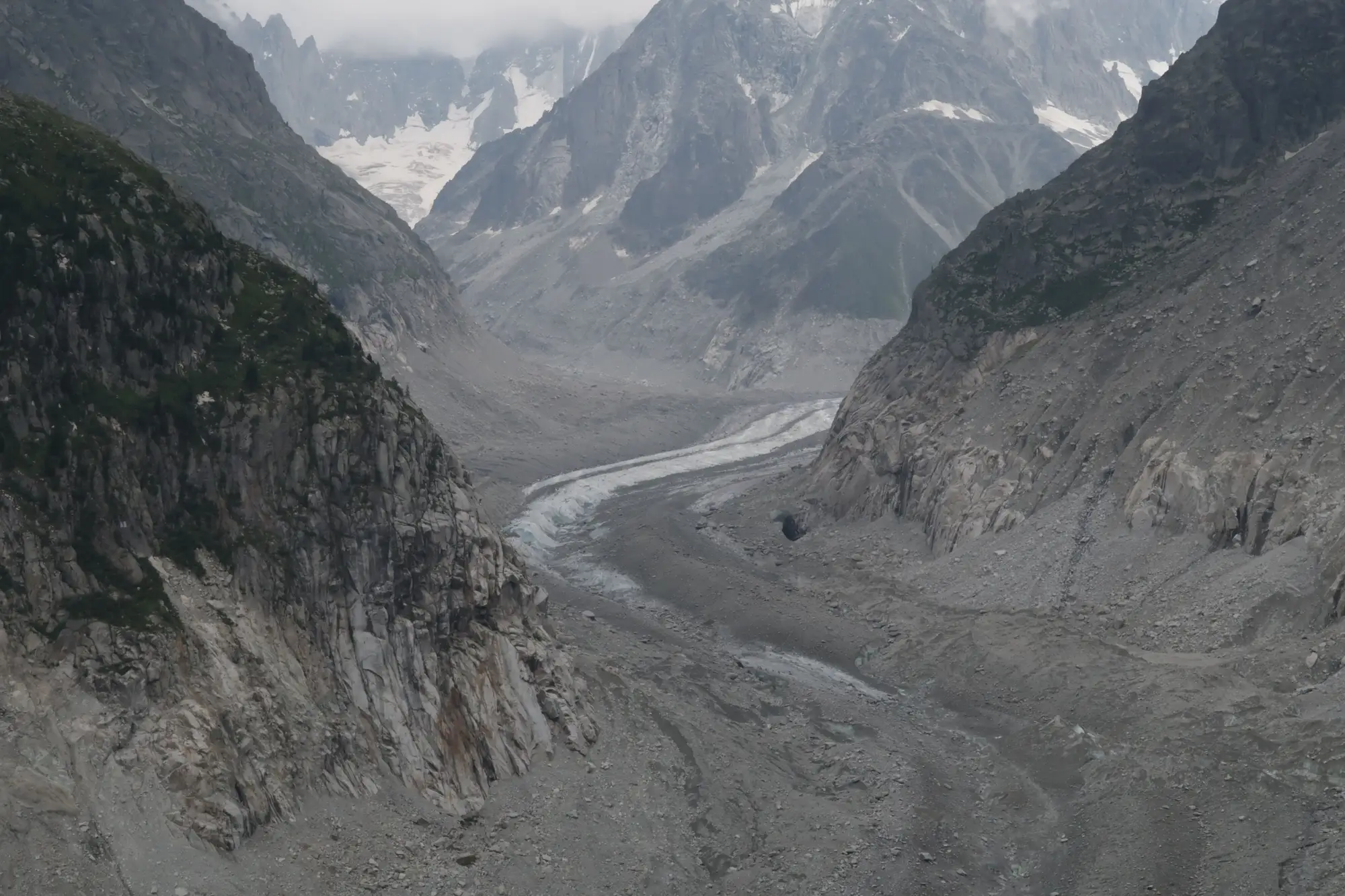
Every glacier-fed catchment I've worked has one of these: a cairn someone stacked decades ago, usually with a rusted survey disc wedged in the top rock, marking where the ice used to end. You find the coordinates in an old field book, hike up expecting a short walk from the cairn to the terminus, and instead you're scrambling across a quarter mile of fresh moraine, loose and still settling, before you hit anything resembling ice.
This year the cairn above one of our upper-basin tongues stopped being a reference point and became a historical marker. The terminus pulled back past it sometime between last August and this one. Nobody was standing there when it happened, which is the annoying truth about terminus retreat. It doesn't happen on the day you visit. It happens in the weeks you're not looking, during the ablation season, and you only find out after the fact when the tape measure or the photo comparison tells you the ice gave up more ground than it has in any season since someone started keeping notes.
I want to be careful about what a cairn like that tells you, because it's easy to overstate a single marker. One point of reference, however old, is one point. What makes it useful is that it's been sitting there long enough to have outlasted several field technicians and at least two generations of survey equipment, and the ice has been retreating past it at a pace that's visibly different in the last decade than the one before it. It reads as a baseline shifting under a long record, exactly the kind of signal that's hardest to catch from a few site visits a year.
The honest problem with cairns, stakes, and painted benchmark rocks is coverage. You can put a marker at the terminus of the glacier you can drive closest to, maybe two if your budget and your knees hold out. The other six or eight glaciers feeding the same catchment don't get a marker, because nobody's hiking in there every August to check on them. So you end up making basin-wide retreat statements off the one tongue you can physically reach, which is a reasonable thing to do when it's your only option and a shaky thing to lean hard on when someone downstream is asking about ELA shifts across the whole watershed.
That gap is the reason I started pulling seasonal imagery for the basins I track instead of relying only on what the field crew can get eyes on. A multi-decade optical archive won't replace the cairn, and it shouldn't. Standing next to the ice and reading a disc that's been there since before you had the job is still the thing that makes the retreat feel real. But the imagery fills in the glaciers you can't reach every season, and it gives you a snowline and extent record that doesn't depend on which August you happened to schedule the hike. Glacier Monitoring builds exactly that kind of seasonal ice-extent layer and retreat time series, pulled from archives that go back further than most of our field notebooks do, for every glacier feeding a catchment, not just the one with the cairn.
So the cairn stays in the ground. It's earned its spot, and there's something worth keeping about a physical marker that a hydrologist forty years from now can still walk up to. But it's one data point on one tongue, and the basin has more glaciers in it than that.
If you've got a catchment where the field record only covers the glacier closest to the trailhead, it might be worth seeing what the rest of the basin has been doing.