Field notes
Estimating ice thickness from surface velocity for a catchment water balance
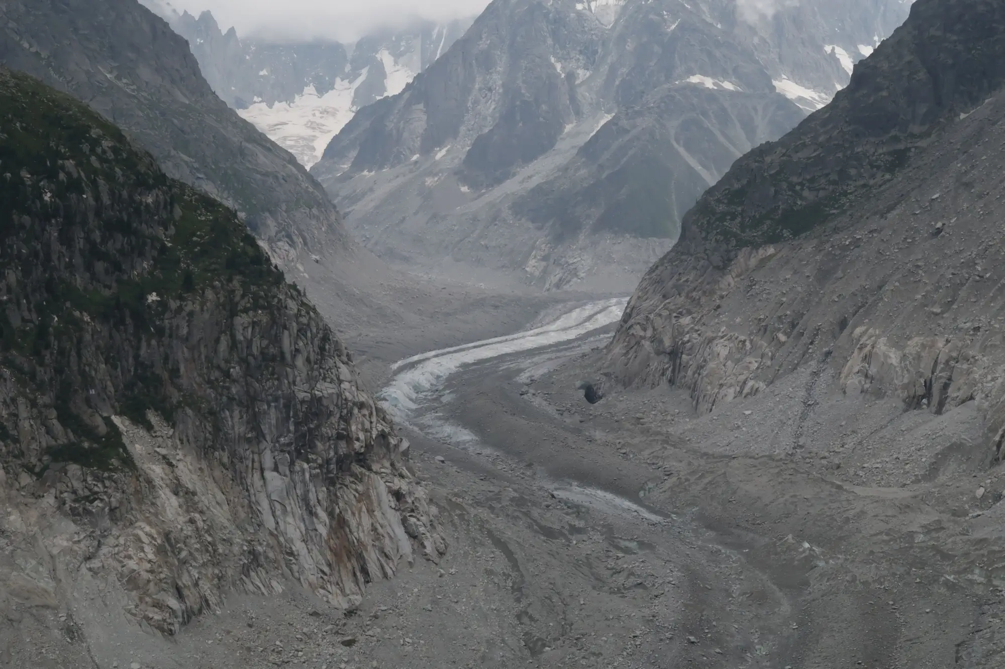
Most catchment water balance models treat glacier ice as a storage term with a number attached: so many cubic kilometers, due to disappear over some decades. Getting that number without a radar survey means working backward from something you can measure from the surface, which is velocity.
Why surface velocity stands in for thickness
Ice moves because it's deforming under its own weight, and the rate of that deformation is governed by Glen's flow law, which relates strain rate to driving stress, and driving stress depends on ice thickness and surface slope. Flip that relationship around and a measured surface velocity, combined with slope, lets you solve for the thickness that would produce it. That's the shallow ice approximation in its simplest form: thickness balloons out of velocity and slope through the flow law, with a shape factor thrown in to account for valley geometry pulling against the sides.
The practical version most basin studies run is the mass-conservation method, sometimes called the Farinotti approach after the papers that popularized it. Instead of inverting velocity at a single point, it treats the whole glacier as a system: surface mass balance tells you how much ice has to flux through each cross-section to stay in equilibrium, and the ice flux divided by velocity gives you a thickness estimate along flowlines. It handles tributary glaciers and non-uniform bed geometry a lot better than a point-by-point inversion, which is why it's become the default for regional ice volume estimates in places like High Mountain Asia and the Andes.
Surface velocity itself usually comes from feature tracking on repeat optical imagery, cross-correlating crevasse patterns or debris features between two acquisitions, or from InSAR phase differencing on SAR pairs. Optical feature tracking is the more forgiving of the two for a basin-scale job. It doesn't need the near-coherent repeat passes SAR interferometry demands, and it works fine on the kind of multi-decade archive most agencies already have access to for other reasons.
Where this fits in a water balance
Ice thickness by itself is an academic number. What a water balance needs is volume, which is thickness integrated across the glacierized area, converted to water equivalent, and divided by however many years you're willing to assume the ice keeps contributing before the catchment's hydrology shifts to a snow-and-rain regime. That conversion is where the velocity-derived thickness earns its keep: it turns "the glacier is retreating" into a storage term you can actually subtract from a long-term supply forecast.
The catch is that a single thickness inversion is a snapshot. A glacier thinning fast enough to matter for a 20-year planning horizon needs its extent and terminus position tracked over seasons, not inverted once and filed away. That part doesn't require a velocity field or a flow-law assumption at all, just a consistent record of where the ice edge and snowline sit each season across the archive. If your office hasn't run a velocity inversion and isn't about to commission one, a seasonal ice extent layer and retreat time series for the glaciers feeding your basin gets you the trend line that tells you whether the thickness estimate from five years ago is still a reasonable input, or whether the glacier has thinned past the point where last decade's volume number means anything.
What the inversion can't tell you
Bed topography inverted from surface velocity carries real uncertainty, usually tens of percent on individual glaciers, tighter when you aggregate across a whole basin's worth of ice. It also assumes steady flow dynamics that break down on surging or heavily debris-covered glaciers, where velocity and melt don't track each other the way the flow law expects. Treat the thickness number from an inversion as a range rather than a fixed figure, and let the seasonal extent record show which direction that range is moving.
If your basin has more than one glacier feeding it and you need the retreat trend without running a bed-inversion study yourself, that's the gap Glacier Monitoring is built to fill.