Field notes
How to pick a baseline year for glacier extent comparison
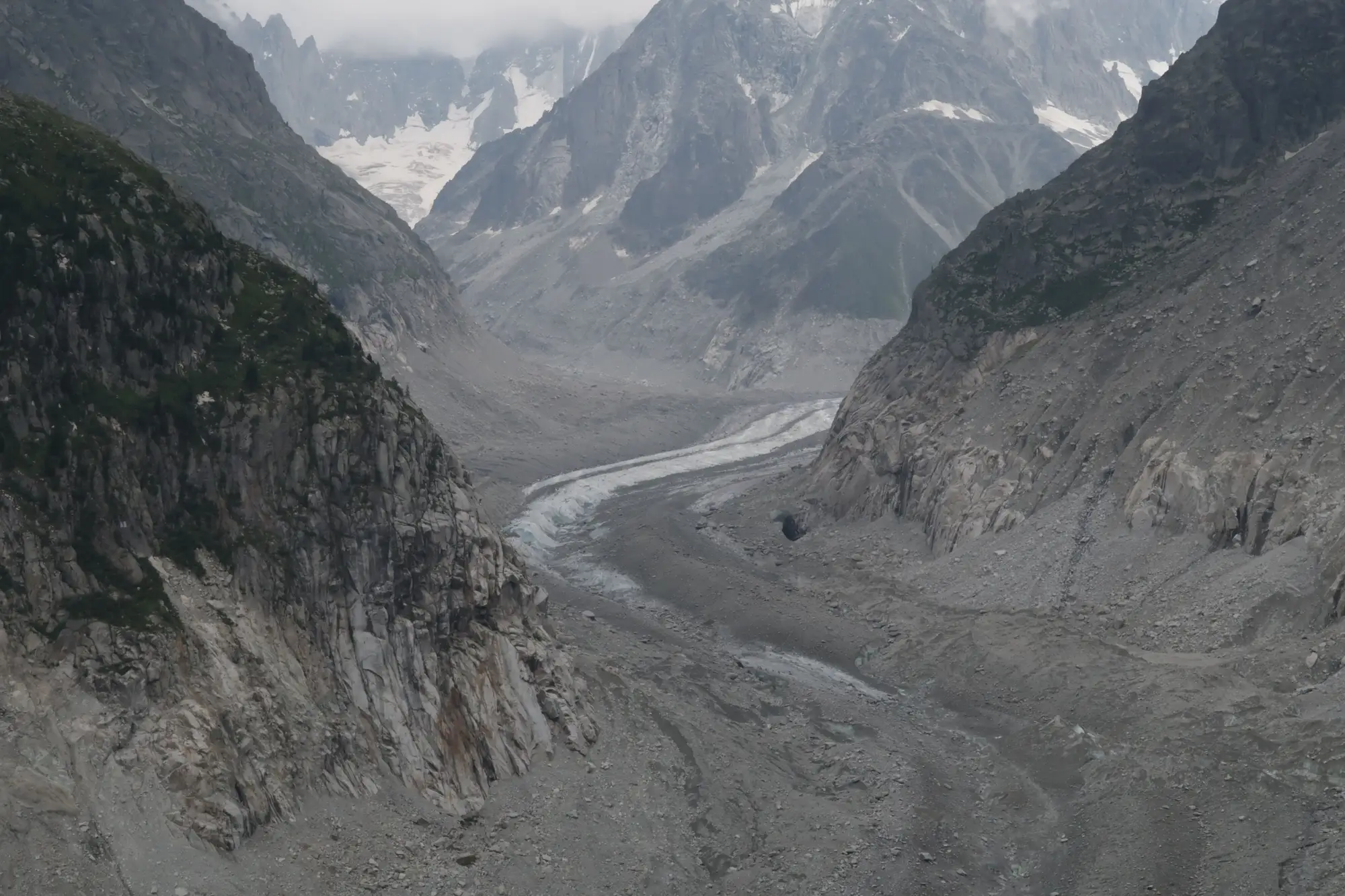
Picking a baseline year is the part of a glacier retreat analysis that gets the least attention and does the most damage if you get it wrong. Everything downstream, the percent-of-1990s-extent number in your annual report, the trend line you show the board, the input you hand to a water-availability model, inherits whatever year you anchored to. Pick an anomalous year and you'll either overstate retreat or bury it.
Why the anchor year drives the whole trend
A glacier's late-summer extent moves around from year to year even without a long-term trend. A cool, wet summer can leave a glacier looking fatter than it "should" for its decade. A hot, dry one strips it back further than the multi-year average. If your baseline happens to land on one of those outlier years, every comparison after it is measuring the anomaly, not the trend.
This matters more for catchment work than for a single-glacier study, because you're usually stacking several tributary glaciers into one basin-wide retreat figure. If the baseline year was unusually snowy for glacier A but average for glacier B, your combined number is comparing apples to a slightly different fruit for the rest of the record.
What makes a year usable as a reference
A workable baseline year needs three things to line up:
Late in the ablation season. You want the glacier at or near its annual minimum extent, not mid-melt. For most northern-hemisphere alpine catchments that's late August through September; for southern hemisphere basins, shift six months. Compare a March scene to a September scene from a different year and you're not measuring retreat, you're measuring the calendar.
Low fresh-snow cover. A late-August snowfall event sitting on top of the ice sheet reads as glacier extent in optical imagery when it isn't. If the scene shows fresh snow down to unusually low elevations for that time of year, it's not a clean reference, no matter how clear the sky was.
A year that isn't already known to be an outlier. If your basin has a documented heat wave, an early snowmelt year, or a year climate records flag as anomalously cold, don't build your reference off it even if the scene quality is perfect. Cross-check candidate years against regional temperature and precipitation records before locking one in. Scene quality tells you the pass was clean. It doesn't tell you whether the year itself was climatically normal.
Working from a deep archive instead of one convenient scene
This decision used to be harder than it should be, because most people picked whatever clear scene happened to sit in whatever archive they had access to, often just a handful of years back, since that's as far as the data went. A multi-decade optical archive changes the calculus. You can pull several candidate late-ablation-season scenes across a run of years and score each one against the multi-year average extent. The clearest scene isn't always the best match. The scene closest to the long-run average is the one worth anchoring to.
That also lets you sanity-check your choice after the fact. If a supposedly "typical" baseline year turns out to sit at the low end of the surrounding decade's extent, you'll see it once you've got neighboring seasons to stack it against, and you can move the anchor before the number gets quoted anywhere permanent.
A few practical rules worth writing into your methodology notes, so the next person doesn't have to relitigate the choice: document why the year was chosen, not just which year; keep the scene date, not just the year, since a mid-August scene and a late-September scene from the same year can show meaningfully different extent; and re-derive the baseline extent whenever you extend the record backward, since an earlier clean year sometimes turns out to be a better anchor than the one you started with.
If you're setting this up for a catchment with several glacier sources, a seasonal extent layer built directly from that archive gives you the run of years to check a candidate baseline against.
For a look at how that seasonal extent and retreat time series comes together for your basin, get in touch with Glacier Monitoring.