Field notes
How to prioritize which glaciers to monitor first in a catchment
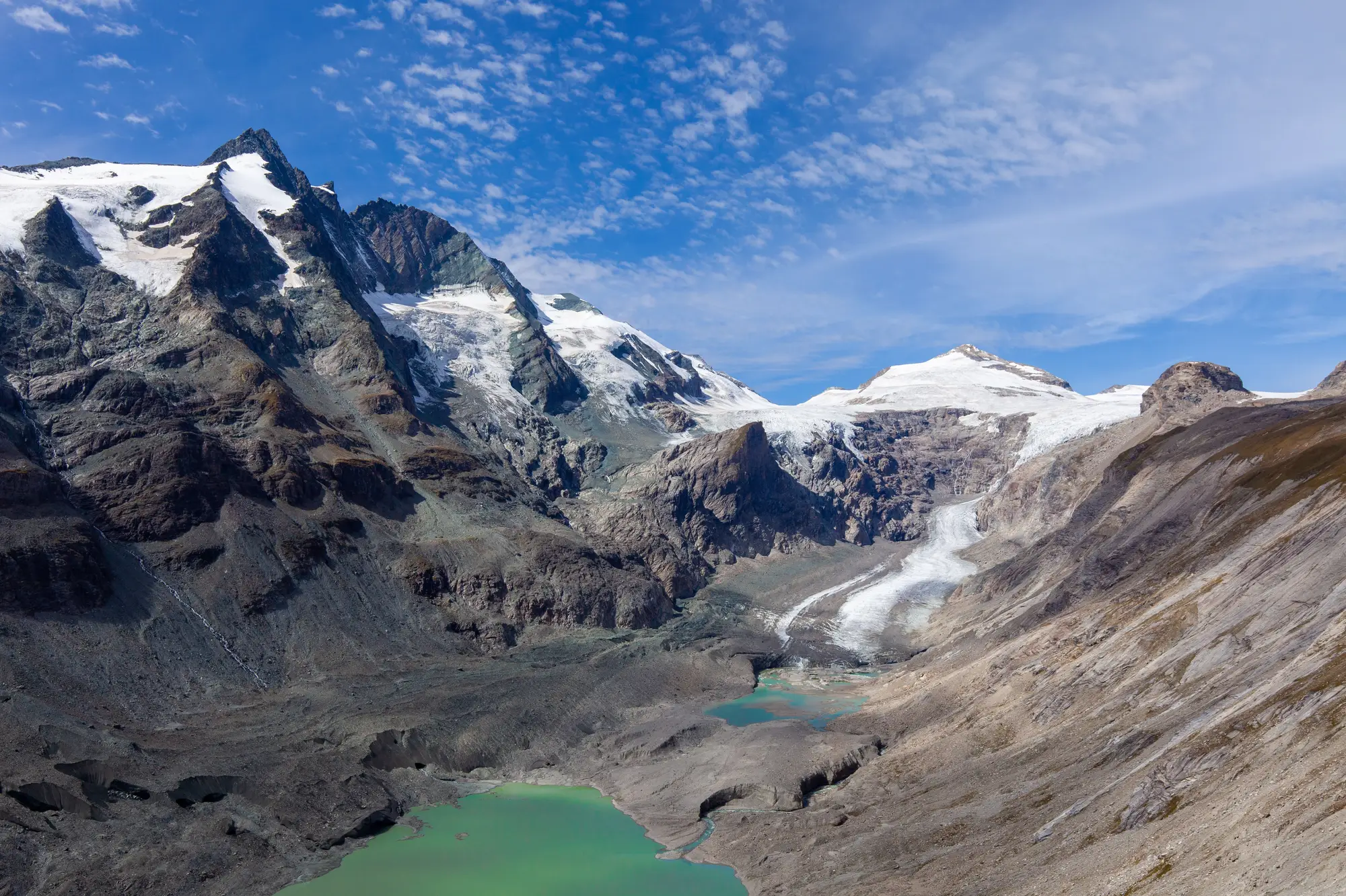
Most planning cycles don't have room to run gauges, stakes, and ablation pits on every named glacier in a basin. A glacier-fed catchment usually carries six tributary glaciers, or fourteen, or some number well past what any field crew or imagery budget can track at once. Three or four of them typically move most of the water that comes out of the valley during low-flow season, and sorting out which ones is the actual screening task before a field plan gets written.
Start with the glaciers that move your hydrograph
Ice-contributing area is the first filter, but area alone misreads a basin. A glacier might cover a third of the headwater polygon and contribute almost nothing to late-summer flow if it sits high, cold, and mostly in the accumulation zone. A smaller glacier lower in elevation, with more of its mass below the equilibrium line, can be doing most of the melt work in July and August.
Pull whatever you already have: gauge records, baseflow separation if someone's done it, even a rough water-year balance. Rank sub-catchments by their modeled or inferred melt contribution to the gauge you care about, not by polygon size on a basin map. In a lot of regional catchments this narrows a long list of named glaciers down to two or three that are doing the heavy lifting during low-flow season, with the rest contributing at the margins.
Terminus position matters here too. A glacier that's already retreated off its valley floor and sits entirely in a high cirque behaves differently than one still grinding across a moraine-dammed basin. The second kind is worth a closer look regardless of size, because a sudden drainage event there shows up in the hydrograph fast and nobody wants to find out about it after the fact.
Screen the rest with a short checklist
For the glaciers that don't make the first cut on melt contribution, run a quick pass before deciding they're low priority for this cycle:
- Is the terminus advancing, stable, or retreating faster than the regional average? A glacier that's behaving like its neighbors is lower risk than an outlier.
- Does it sit above infrastructure, a reservoir intake, or a downstream community that would notice a change in timing even if the volume is small?
- Is there a moraine-dammed lake or an overdeepened basin forming at the terminus? That's a different kind of monitoring question than retreat rate, and it tends to get worse quietly before it gets worse suddenly.
- How debris-covered is the ablation zone? Heavily debris-covered tongues retreat on a different schedule than clean ice, and a glacier that looked stable in a decade-old aerial photo might not be anymore.
- Is there already a multi-decade optical record for it, or would you be starting from scratch? Screening cost drops a lot when the archive already exists.
A season-by-season look at where the ice and snowline sat across the last twenty or thirty years answers most of these without a field season.
What this buys you before you commit a field crew
Screening ranks the catchment's glaciers by priority for this cycle. That ranking moves: a glacier sitting at low priority today can climb the list next cycle once its terminus starts behaving differently, and the only way to catch that shift early is to keep watching it. Put the expensive fieldwork, gauges, mass balance stakes, ablation pits, on the two or three glaciers where a reading actually changes a water-supply decision. Track the rest with a lighter seasonal layer, and a move from low priority to high priority shows up the season it happens instead of waiting for the next decade's re-survey to catch it.
A seasonal extent layer pulled from the existing optical archive gives you that lighter-weight view across the whole catchment at once, so you can watch how ice and snowline extent have shifted across every tributary glacier in the basin before you decide where the field budget goes next season.
Once the ranking holds up for a season or two, it's worth revisiting it. Retreat rates aren't constant, and a glacier that ranked low five years ago because it was high and cold can move up the list once its terminus starts sitting somewhere different.
If the next planning cycle has you staring at a basin map trying to decide where to put limited monitoring dollars, Glacier Monitoring is built to get you a catchment-wide view before you make that call.