Field notes
Mass balance vs. terminus position: which glacier metric should a catchment manager track
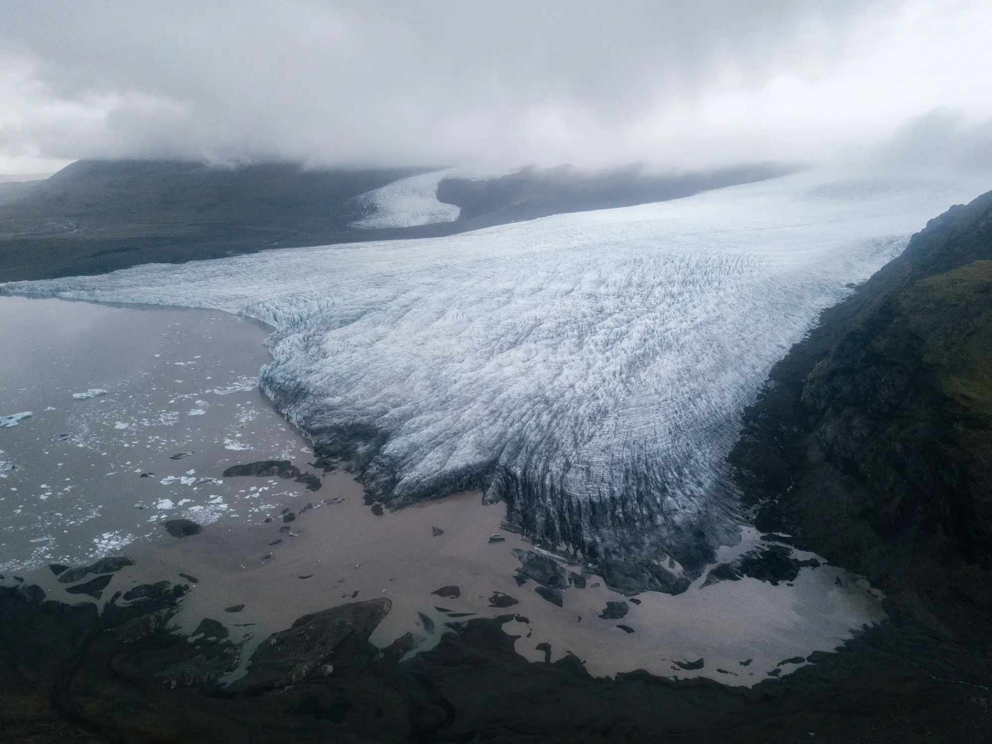
If you work for a water agency with a glacier-fed catchment, you've probably seen both numbers in the same report: mass balance in meters water equivalent, and terminus position in meters of retreat per year. They get cited side by side so often that it's easy to assume they're measuring the same thing. They're not, and for catchment planning, picking the wrong one to track can leave you reading a trend that doesn't tell you what your basin's runoff is going to do.
What mass balance measures
Mass balance is the net gain or loss of ice and snow across the whole glacier surface over a year, usually expressed as meters water equivalent. It's an accumulation-zone-to-ablation-zone ledger: snowfall and refreezing add mass up high, melt and sublimation take it away down low. A glaciologist running a field program gets this with stake networks, ground-penetrating radar, and repeat GPS surveys, sometimes supplemented with satellite gravimetry for ice sheets.
It's the gold-standard metric for climate attribution because it responds to the whole mass budget, not just one edge of the glacier. But it's expensive to measure directly, and most of the glaciers feeding a given catchment have never had a stake network on them. The World Glacier Monitoring Service tracks maybe a few dozen "reference" glaciers worldwide with long mass balance records. If your basin's glaciers aren't on that short list, you're extrapolating from a different range, a different aspect, a different climate regime, and hoping it holds.
What terminus position measures
Terminus position is simpler: where does the ice physically end, this season, compared to last season or ten years ago. You can get it from a single clear optical image, which is why it's the easier number to have for an arbitrary glacier. No stakes, no radar survey, just a satellite image and a known reference line.
The catch is that terminus position lags mass balance, sometimes by years, sometimes by a decade or more depending on glacier size and how fast the ice near the terminus is moving. A glacier can be running a strongly negative mass balance for years while the terminus barely moves, because the ice flowing down from upstream hasn't caught up to the deficit yet. Conversely, a glacier can show dramatic terminus retreat in a single season from calving or a stagnant, debris-covered tongue finally collapsing, even if the upstream mass balance that year wasn't unusual. Terminus position also doesn't tell you anything about snowline elevation or firn-line migration, which matter more for predicting how much melt output will change in the next few seasons.
Which number a catchment manager should track
Mass balance wins on scientific rigor outright. That's not the decision a water agency has to make. What matters is which metric you can get, consistently, for the specific glaciers that feed your basin, in a form that tells you something about water yield.
For most catchments, that's a combination of terminus position and seasonal snowline or ice-extent mapping, not mass balance alone. Terminus retreat gives you the long-run direction of the glacier's contribution to baseflow: a glacier that's retreated 800 meters since the 1990s is a glacier that's shedding stored ice, and that stored ice has been propping up summer flows in dry years. Seasonal ice and snowline extent, tracked across several years, gets you closer to an annual signal without requiring a field program, because snowline altitude at the end of the melt season is a reasonable proxy for where that year's equilibrium line sat.
Mass balance field campaigns still matter, and if your agency can fund or partner on one for a representative glacier in the basin, it gives you ground truth the remote metrics can't. But for routine monitoring across every glacier that drains into your catchment, most agencies are better served by a retreat time series and a seasonal extent layer they can pull every year than by waiting on a mass balance program that may only ever cover one glacier in the range.
That's the gap Glacier Monitoring was built to close: a seasonal ice extent layer and retreat time series for the glaciers that feed your specific basin, pulled from multi-decade optical archives instead of commissioned from scratch. If terminus position and snowline extent are the numbers your catchment work runs on, it's worth seeing what that record looks like for your basin.