Field notes
Optical vs SAR imagery for glacier extent: which archive answers the question
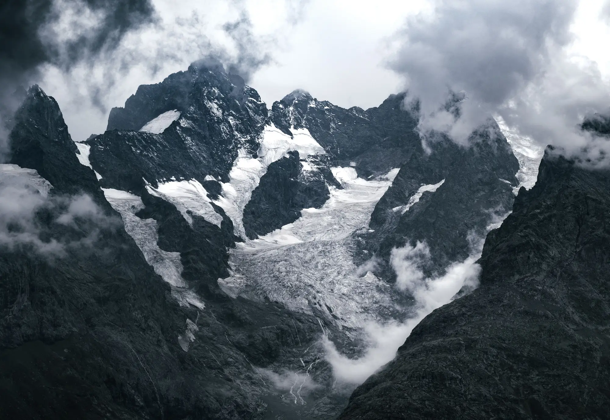
If you're building a retreat time series for a catchment, this question comes up early: do you pull optical scenes or go with radar? Both turn up in the remote-sensing literature on glacier extent, and the papers rarely agree on which to lead with. Here's how the two behave when you're trying to draw a snowline or an ice margin.
What each sensor is measuring
Optical imagery records reflected sunlight across visible and near-infrared bands. Snow, bare ice, debris-covered ice and exposed rock each reflect differently enough that you can draw a defensible boundary between them, which is what an extent map needs. That is also why the long archives hydrologists lean on are optical: the Landsat record starts in 1972 with the MSS sensor, and Sentinel-2 has been imaging since 2015. If you want a retreat trend measured against a baseline decades back, optical is where that record lives, though how many usable scenes exist for a given basin varies a lot.
SAR (synthetic aperture radar) sends its own microwave pulse and reads the backscatter. It works through cloud and in darkness, which is its main appeal. Backscatter responds to surface roughness and moisture content rather than spectral reflectance, so the boundary between wet snow and bare ice can blur in ways a multispectral index handles more cleanly. SAR is strong for surface velocity and for picking out a glacier's wet snow zone. Drawing a clean seasonal extent line from SAR alone usually means more processing judgement calls.
Where cloud cover costs you
Cloud cover is the real argument for SAR, and it's a fair one. A basin with persistent cloud during the melt season can leave gaps in the optical stack right when you need a scene. Most catchment-scale work handles this by compositing across a wider seasonal window, so adjacent clear-sky passes fill in for a cloudy acquisition date. For basins where even that falls short, cross-checking against a SAR pass can confirm whether a margin moved or whether you're looking at fresh snow.
So which one do you pull?
For a seasonal ice extent layer and a retreat time series, optical does most of the work, for the two reasons above: archive depth and the spectral separation between snow, ice and rock. SAR earns its place as a supplement for cloud-prone basins and for velocity work, while extent mapping still rests on the optical stack. A good test for any SAR-only extent product is the margin it draws on a debris-covered tongue, where radar and optical tend to disagree most.
For a catchment monitoring programme, that means building the extent series from optical, choosing acquisition windows that avoid the cloudiest weeks where you can, and bringing in Sentinel-1 SAR, which is free and open, for the years the sky doesn't cooperate.
Our seasonal ice extent layer and retreat time series is built on the optical side of that split, from multi-decade archives.