Field notes
What is a GLOF, and why catchment hydrologists track proglacial lake area
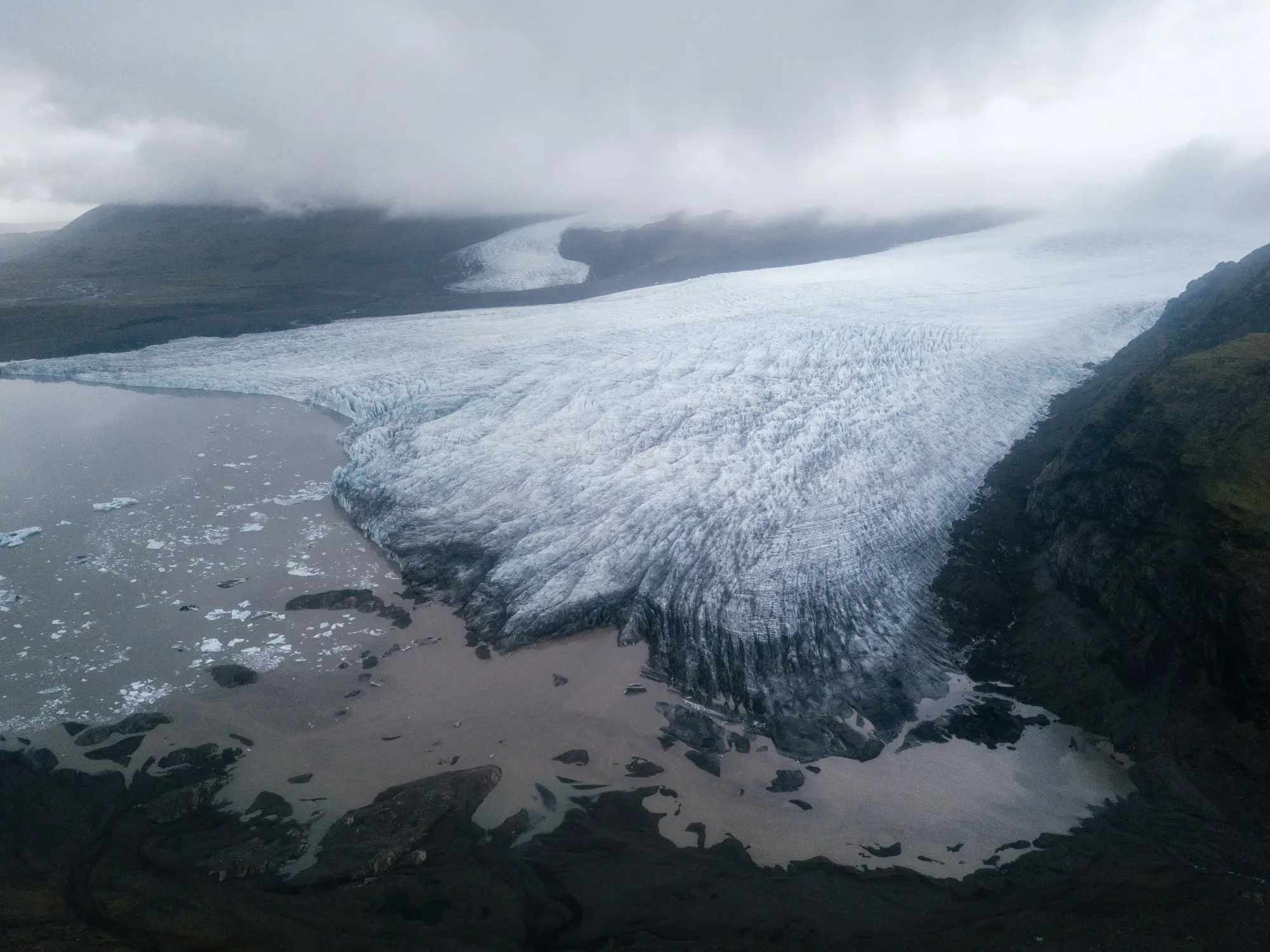
A glacial lake outburst flood, GLOF for short, happens when a lake sitting against or behind glacier ice breaks loose all at once. A moraine dam cracks under pressure, an ice dam lifts off its bed, or a chunk of hanging glacier calves into the lake and shoves a wave over the top. The trigger varies. The result doesn't: a slug of water and debris moving down-valley faster and bigger than anything the channel handles in a normal melt season.
For a hydrologist running a glacier-fed catchment, that's not an abstract hazard category. It's the reason a downstream gauge record stops making sense until you learn a lake let go sixty kilometers upstream two days before the peak showed up. By the time the wave reaches your furthest gauge, the warning window you actually had was back at the lake, not at the hydrograph.
Why these lakes exist in the first place
Retreating ice leaves basins behind. As a glacier terminus pulls back, meltwater pools in the depression between the retreating ice front and the moraine the glacier bulldozed up during its advance. That moraine, loose rock and till with no real structural integrity, becomes the dam. Some lakes form against the ice itself rather than a moraine, and those carry their own failure mode: the ice dam can float when the lake gets deep enough, draining catastrophically in hours.
Neither kind of dam is built to last. A moraine dam can hold for decades then fail in an afternoon once the lake gets deep enough, or once an icefall or landslide above it sends a wave over the crest. That's the part that makes these events hard to forecast from ground instruments alone: the failure trigger is often upstream of anything you've got wired for telemetry.
Why lake area is the signal, not just the lake's existence
A proglacial lake that's been stable at the same footprint for five seasons running is a different risk profile than one that's gained thirty percent in area over the same stretch. Area growth tells you the lake is deepening against its dam, taking on more meltwater than it's releasing, building the hydraulic head that eventually does the dam in. A lake that's shrinking, or that drained and refilled, tells a different story, often one worth a field visit on its own.
This is why a single site inspection doesn't answer the question a hydrologist is really asking. You need the trend: lake extent mapped at the same time each season, going back as far as the archive allows, so a given year's footprint means something against its own history rather than against a guess at what's normal. A multi-decade optical record gives you that baseline without anyone having to have flagged the lake as worth watching twenty years ago. The imagery was already being collected for other purposes. Pulling the lake area time series out of it after the fact is the whole point.
That's also where proglacial lake area work overlaps with glacier retreat monitoring more broadly. The lakes that matter are downstream of specific glaciers, and those glaciers' own terminus position and seasonal snowline tell you whether the melt feeding the lake is accelerating. Watching both together, across the glaciers that drain into your basin, gets you a catchment-wide picture instead of a single lake in isolation, and you can pull that seasonal extent and retreat record together without standing up a dedicated remote-sensing program to do it.
None of this replaces a geotechnical hazard assessment of a specific dam, and it won't tell you the day a lake fails. What it does is flag which lakes in your basin are trending toward trouble early enough to put one on a field team's list instead of finding out from a gauge spike. For an agency covering a dozen glacier-fed tributaries with one hazard team, that's the difference between monitoring a short list of lakes that are genuinely changing and trying to keep eyes on all of them at once.
If your basin has even one proglacial lake you'd like a seasonal area record for, Glacier Monitoring is built for exactly that question.