Field notes
What is a reference glacier in mass balance monitoring?
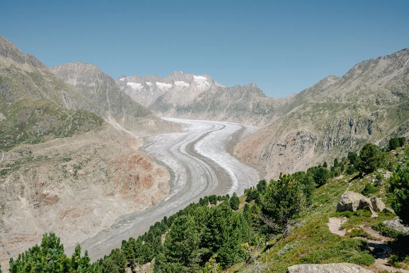
If you've spent any time in the mass balance literature, you've run into the term "reference glacier" without anyone stopping to define it. Here's what it actually means and why it matters for anyone tracking a glacier-fed catchment that isn't on the list.
The short answer
A reference glacier is one of a small set of glaciers worldwide with a continuous, long-term in-situ mass balance record, maintained well enough and long enough that scientists use it as a benchmark for an entire mountain range or climate region. The World Glacier Monitoring Service (WGMS) coordinates this network and publishes the data. Names that show up again and again in the record include Hintereisferner in Austria, Storglaciären in Sweden, Sarennes in France, and South Cascade Glacier in the Pacific Northwest. Some of these series go back to the 1940s and 1950s.
To earn that status, a glacier typically needs decades of uninterrupted stake and pit measurements (the direct, boots-on-the-ice method of reading accumulation and ablation at fixed points), cross-checked periodically against geodetic surveys so the long record doesn't drift from reality. It also needs to be reasonably representative of the glaciers around it, so researchers can extrapolate its trend to a broader region without having to instrument every glacier individually. That's the whole point of the network: you can't put stake teams on every glacier on earth, so you pick a representative handful, measure them properly, and use them as a proxy for the rest.
Why this matters if your basin isn't one of them
Here's the catch for a lot of water agencies: the glaciers feeding your catchment are almost certainly not reference glaciers. There are only a few dozen in the WGMS network globally, chosen for scientific representativeness, not because they happen to sit above someone's intake structure. Your source glaciers may be smaller, sit in a range with no benchmark glacier at all, or have never had a stake program run on them.
That leaves you borrowing a regional trend from a glacier hundreds of kilometers away and hoping it applies, or commissioning your own field program, which means helicopter access, a multi-year stake and pit record, and a budget line most agencies don't have for a single input to a basin model. Neither option gets you a number specific to the ice feeding your reservoirs.
What you can get, without putting a crew on the ice, is extent. Optical satellite archives going back decades let you delineate the glacier and snowline boundary for your specific basin, season after season, and build a retreat time series from that. It won't give you the volume-based mass balance figure a reference glacier series produces, but it gives you a directly measurable trend for the ice that feeds your watershed, not a proxy borrowed from somewhere else. For a lot of planning questions, extent and where the melt-out line sits year to year is the number that drives the basin model.
Reference glaciers versus your catchment, in practice
Think of it as two different instruments answering two different questions. The WGMS network answers "how is the climate affecting glaciers in this broad region," using a few deeply instrumented sites as stand-ins for thousands of others. A basin-level extent record answers "how is the ice in my specific drainage changing," using imagery instead of stake crews, at the cost of giving you area and snowline position rather than mass in kilograms per square meter.
Both are legitimate. If you're citing regional climate trends in a report, the WGMS benchmark series is the right reference. If you're trying to explain why late-summer streamflow in your watershed looks different than it did fifteen years ago, you need the record for your actual glaciers, and that's where a seasonal glacier and snowline extent layer built from the historical archive earns its keep.
Pull the multi-decade imagery for your basin's glaciers and see where the ice line sat each season going back as far as the record allows.