Field notes
What is peak water in a glacier-fed catchment?
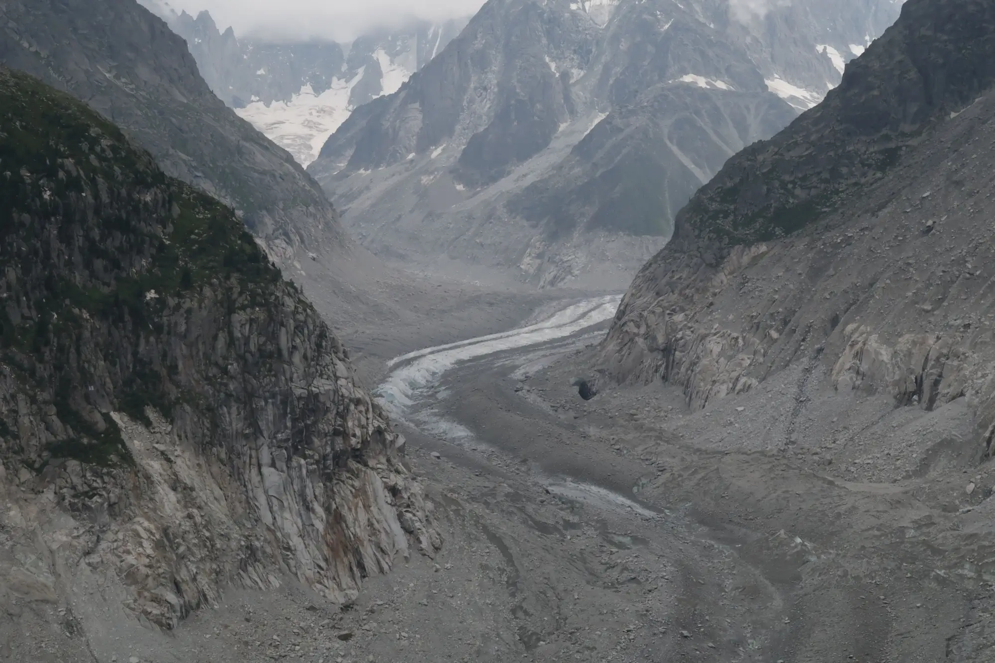
Peak water is the point in a glacier's retreat where meltwater contribution to a catchment stops rising and starts falling for good. A single flood year or a bad drought summer doesn't define it. Peak water is a structural shift in the basin's water balance, and once a catchment crosses it, the glacier contribution to streamflow decline that follows is close to irreversible on any planning timescale that matters to a water agency.
The mechanism is straightforward. A glacier losing mass sheds more water than one in equilibrium, because it's giving up stored ice on top of its normal seasonal melt. For a while, that means more water in the river, not less, especially in July and August when snowpack is gone and the glacier is the only thing still melting. Basins with glaciers in strong negative mass balance can run above their historical baseline for years. Then the ice volume thins past a threshold where there isn't enough left to sustain that excess melt, and output starts dropping even as temperatures keep climbing. That inflection is peak water, and everything downslope of it is a catchment losing its glacial buffer.
Why the timing matters for allocation planning
Most water agencies don't have the luxury of waiting for ten years of gauge data to confirm which side of peak water a basin is on. Allocation decisions, reservoir operating rules, and minimum-flow commitments downstream all get set on multi-decade horizons, and a basin that looks stable on a five-year flow record can already be past its peak if the glaciers feeding it have been thinning since the 1990s.
The hydrograph alone won't tell you where a basin sits. The real tell is in the glacier itself: how much accumulation zone is left above the equilibrium line, how fast the terminus has retreated, whether the ice is still thick enough in the ablation zone to keep shedding volume at the current rate. A basin can show a flat or even rising late-summer baseflow for a few more seasons purely because there's still ice to burn through, and that's exactly the window where relying on recent streamflow trends alone will mislead a long-range allocation model.
Reading peak water from glacier extent instead of flow records
The more direct way to see where a catchment sits is to track the glaciers themselves, season by season, over as long a record as you can get. Retreating terminus position, shrinking total ice extent, and a rising equilibrium line altitude are all leading indicators of peak water, often showing up years before the discharge record confirms it. A basin whose glaciers have lost a large share of their mapped extent since the 1980s, with no stable accumulation zone left above the ELA, is a basin you should treat as past peak water for planning purposes, whatever this year's July flows say.
This is also where a lot of agencies get stuck. Commissioning a dedicated remote-sensing study for every glacier upstream of a gauge is a real line item, and most basins don't get one until there's already a problem downstream. Glacier Monitoring builds a seasonal ice extent layer from multi-decade optical archives and turns it into a retreat time series for the specific glaciers feeding your catchment, which gives you the leading indicator without the standalone study.
None of this replaces a proper mass balance program if you've got the budget and the glaciers that warrant one. But for most regional agencies managing allocation across several glacier-fed tributaries, knowing which basins are still climbing toward peak water and which have already turned is the actual decision that needs making, and a decadal ice extent record answers it directly. A basin past peak water won't recover its melt contribution. Planning around that now costs a lot less than finding out from a dry August a decade from now.
If your catchment's flow record is ambiguous but the glaciers upstream have an obvious retreat story, a seasonal ice extent time series is worth pulling before the next allocation cycle locks in.