Field notes
Why the same August week matters more than the calendar year
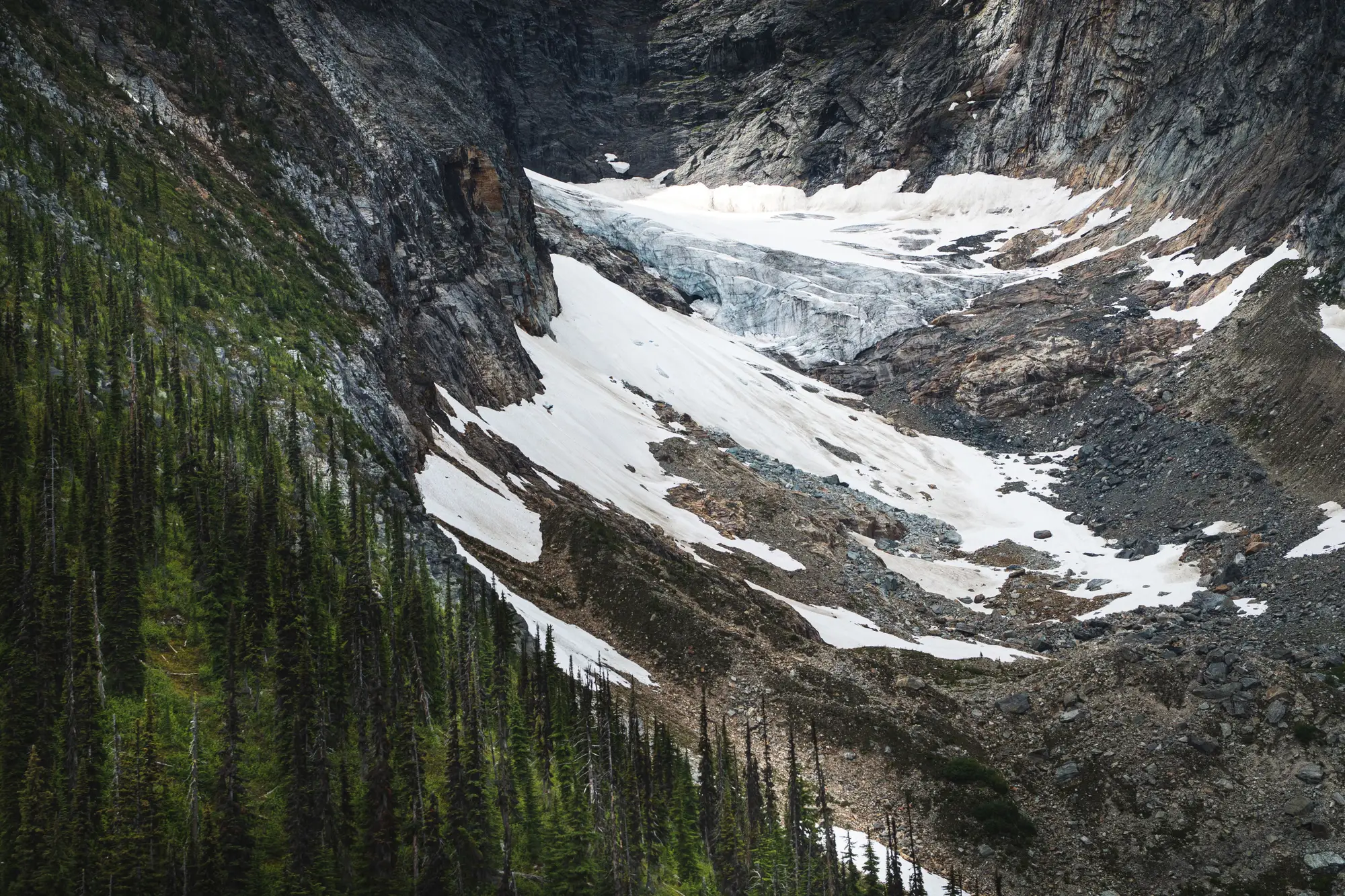
Say you pull two Landsat scenes of the same catchment, one from early July of a dry year and one from mid-August of a wet one. For about ten minutes it looks as though the glacier has grown. It hasn't. One image caught the ice before the seasonal snowpack had melted off it, and the other caught it after. Most of the "extent" in the July scene is last winter's snow lying on top of the glacier, and it tells you about the winter far more than about the ice.
It's an easy mistake to make, and an easier one to miss if you weren't the person who picked the scenes. Mapped glacier extent swings hard within a single season. You can't photograph it on 1 January and 31 December and call that a year. How much snow fell the winter before, how fast it burns off, and how far the melt reaches into the firn and bare ice underneath all move the number. Two glaciers with the same long-term retreat can look completely different in the same July if one basin got a heavy late snowfall and the other didn't.
What holds still, or holds still enough to be useful, is the timing of minimum seasonal snow cover. In a lot of northern alpine catchments that falls somewhere between late August and early September, once the transient snowline has climbed as far up-glacier as it will for the year and before the first autumn storms start laying fresh snow over everything. The exact window is local and worth checking against your own records. Catch a glacier inside it and you're close to seeing its actual ice and firn extent for the year, the part of the signal that follows long-term retreat and ignores this winter's snowfall.
This is why a lot of retreat time series that look noisy year to year are mostly carrying timing noise dressed up as trend. If each year's scene is whatever cloud-free pass happened to come through the archive (some Julys, some Septembers, some early Augusts), you end up comparing one melt season's timing with another's. A basin that shows retreat three years running and then jumps back in the fourth probably didn't grow. The fourth year's scene sat earlier on that season's ablation curve.
The fix takes one rule. Tie every year's extent measurement to the same narrow window near the end of the ablation season, and go looking in the archive for a clear pass inside that window instead of taking whatever's to hand. Snow surveyors have long worked this way, measuring snow courses on fixed dates each spring so one year's figure can sit next to another's. Here the same habit moves to the other end of the melt season. Consistent timing matters more than dense coverage, and one good scene from the right week beats five scattered across the summer. When no clear scene exists in the window, a gap in the series is more honest than a July stand-in.
It's a small point of method. It's also the difference between a retreat curve you can defend to your board and one that gets picked apart at the first question. If you're arguing about meltwater contribution or peak water fifteen or twenty years out, the curve's credibility rests on this kind of housekeeping as much as on the resolution of the imagery.
That end-of-season timing is how we pick the scenes behind our seasonal ice extent layer and retreat time series, with each season's acquisition date recorded alongside the outline.